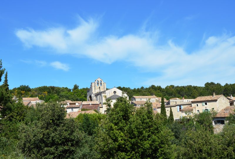
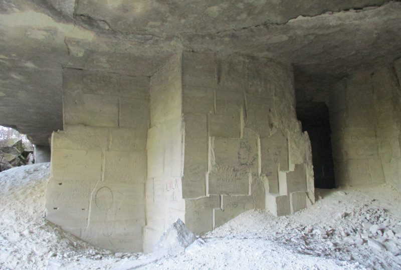
The Saint-Restitut plateau and its panoramic views, the Saint-Paul quarries and the Barry site, and the Chabrières castle are all places of interest in the natural environment and history that will delight the curious hiker.
Description
Opposite the washhouse (160 m), follow the road to the left towards the ramparts. At Place de la Libération, go up Rue Emile-Chazalon to the top of Place de la Résistance. At the Remparts post (175 m), turn right for 50 m, then left onto the footpath. Turn right onto chemin de la montagne, first a footpath, then a street, heading west. Take the D 218 to the left for 200 m, then the track to the right. At the end of the road, turn right and keep to the right. It becomes a track (follow the signs on the plateau). Keep to the main track: pass milestone B9 and at milestone B8, turn right. This leads to the D 218 (B7). Access to and from the quarries via the road on the right for 200 m, then the track on the left between the stones for 300 m (do not enter the quarries, risk of landslide). End of yellow markings. Follow green rectangles. Follow the D 218 to the left. At the end of the road, at the caves cathédrales, take the path. Pass milestone B5. The path winds between embankments and low walls and leads to junction B2. Continue straight ahead to reach the top of the troglodyte village of Le Barry. Follow the new green route. Descend and join a track. At the barrier, turn left towards the bottom of the combe. Climb the thalweg to reach the road. Continue left to the Barry parking lot. Just before the barrier, turn right onto the path which runs southwards up the road. After 500 m, leave the track and turn right. Cross the residence via the Chemin de la Carrière du Planas to the junction with the Route Bousqueras. Drive down the Bousqueras road to the Chemin de Grignan (no signposting for 200 m). Turn left, follow the road signs for 2 km.
You can see the Saint-Ferréol chapel (round trip) by continuing straight on for 200 m. At the Saint-Ferréol chapel crossroads, follow signs for Château de Chabrières on the left. Climb up into the saffres (castle ruins). Follow the path behind the ruins onto the plateau. At the crossroads on the right, continue to milestone B12. Continue straight ahead on the track that joins a number of houses. Take the road to the right. Cross the D 218 and go straight on, Chemin du Réservoir, first road, then footpath. At the end, turn right, then take the chemin (road) de la Baume to the left. This leads back to Place de la Résistance. Take the same route back to the parking lot.
Spoken languages
- French
Labels and ranking
- Open air
Activities
- Pedestrian sports
- Hiking itinerary
Opening
Visit
Individual tour
- Average Duration of the individual tour: 270 minutes
Rate
Situation
To see the spot on the map, you can fly over the altitude difference below.


