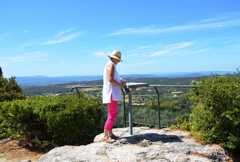
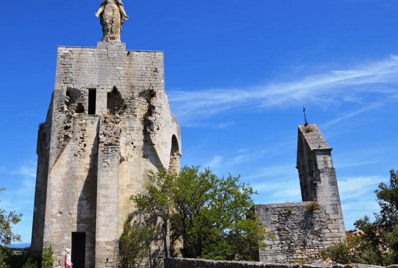
In the early Neolithic period (6,000 BC), before the foundation of Augusta Tricastinorum by the Gallic Tricastini tribe (which became Saint-Paul in the 16th century), man was already contemplating these hills.
Description
From the parking lot, take the Chemin des Goumoux to the left, the Chemin des Marrons to the right and the Chemin de Chameau to the right. Turn left at the hairpin onto the path through the undergrowth. It makes a large yaw, reaches the crest and then follows it (follow the markings in the Saint-Paul communal forest) to reach the Côte du Serre junction (202m).
>Variant (7.5km circuit): take the track on the left as far as the Riaille crossroads.
Head uphill in the direction of Clansayes. The path winds through the undergrowth, then skirts the field to the left, staying on the edge of the woods. Cross the road in the hairpin bend and take the track opposite. Turn left onto the road, then left down the dirt track. At the Ladoux crossroads (280m), cut off the road and continue downhill. Take the track on the right, the D481 on the left and the path on the left. This leads to the heights of Clansayes (250m). Take the D571 to the left (towards Les Prés) for 30m, take the shortcut to the left and continue along the road for 600m. Turn left onto the Micocouliers crossroads. At the Les Prés crossroads, continue along the road to the right and reach the Combe du Verger crossroads (160m). Take the path on the right, which climbs following a cross. Reach a small plateau and a chapel. Return to the road on the same path. Continue straight ahead along the road for 400m, then fork left onto the track and reach the Carrefour de la Riaille (148m). Follow the track to the right. After the property, take the road to the left. Follow the road to the right for 250m. Turn right onto Chemin des Roches. It skirts the Chatillon hill and runs along the edge of the housing estate. Take Chemin de Chatillon to the left and Chemin du Tubet to the right. Turn left into the sports complex and return to the parking lot.
Spoken languages
- French
Labels and ranking
- Open air
Activities
- Pedestrian sports
- Hiking itinerary
Opening
Visit
Individual tour
- Average Duration of the individual tour: 210 minutes
Rate
Situation
To see the spot on the map, you can fly over the altitude difference below.


